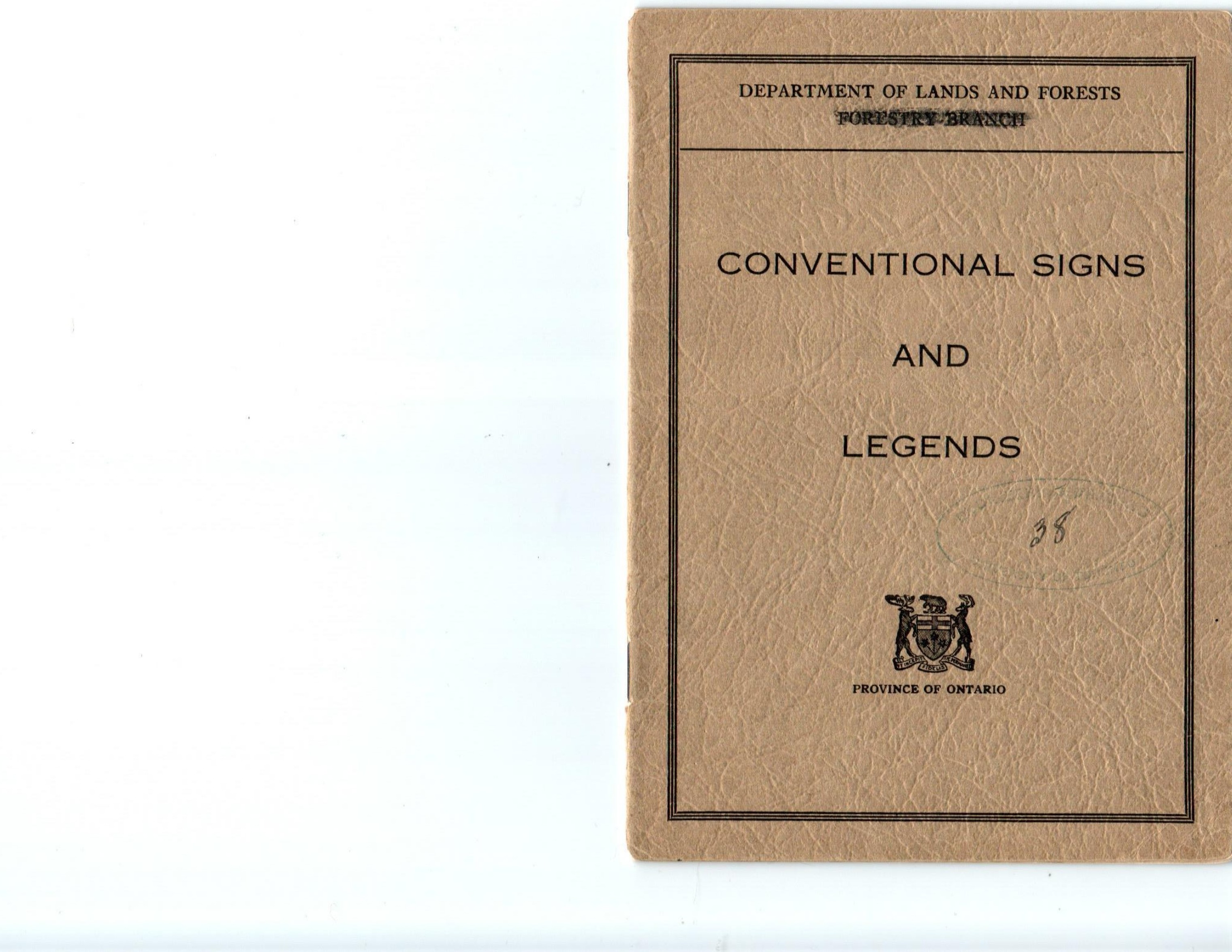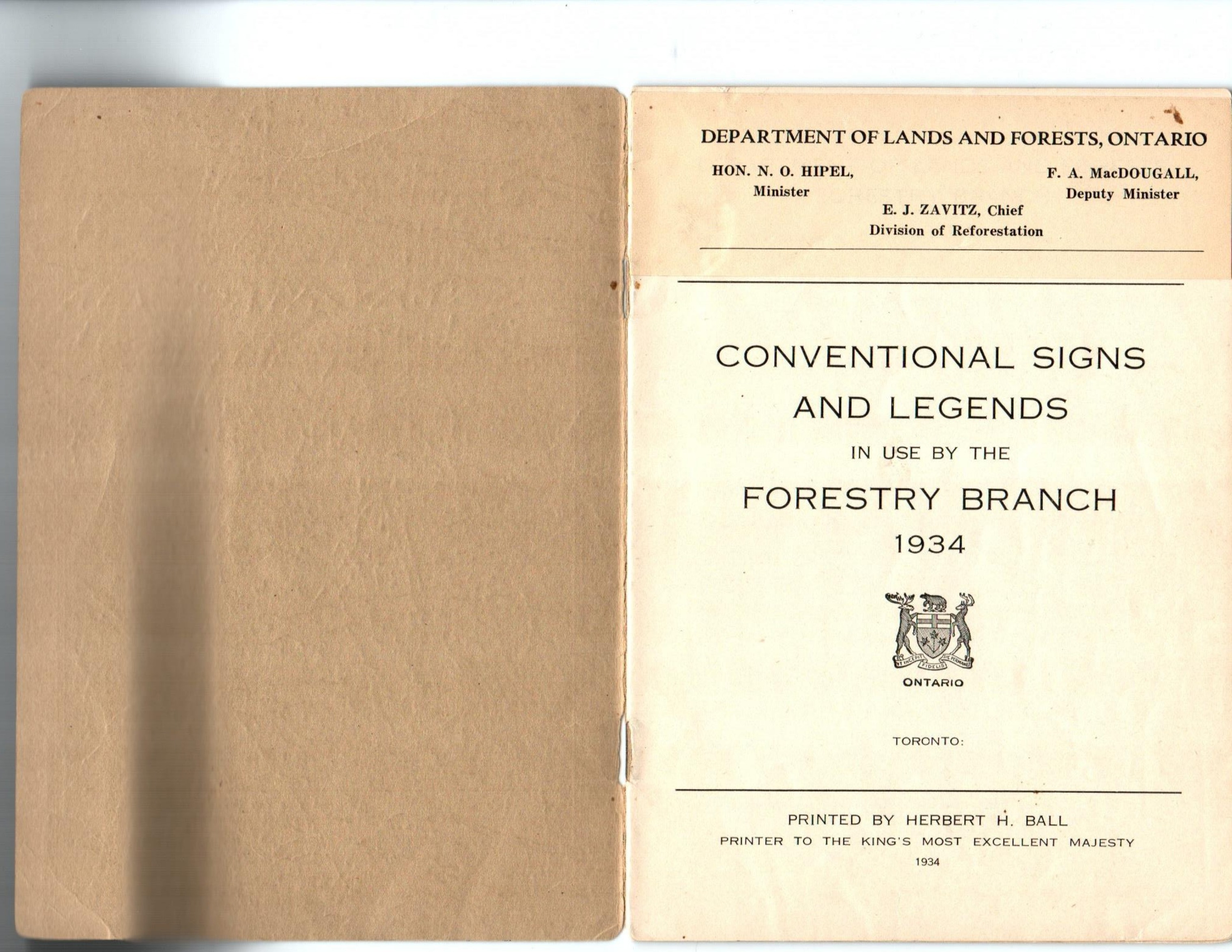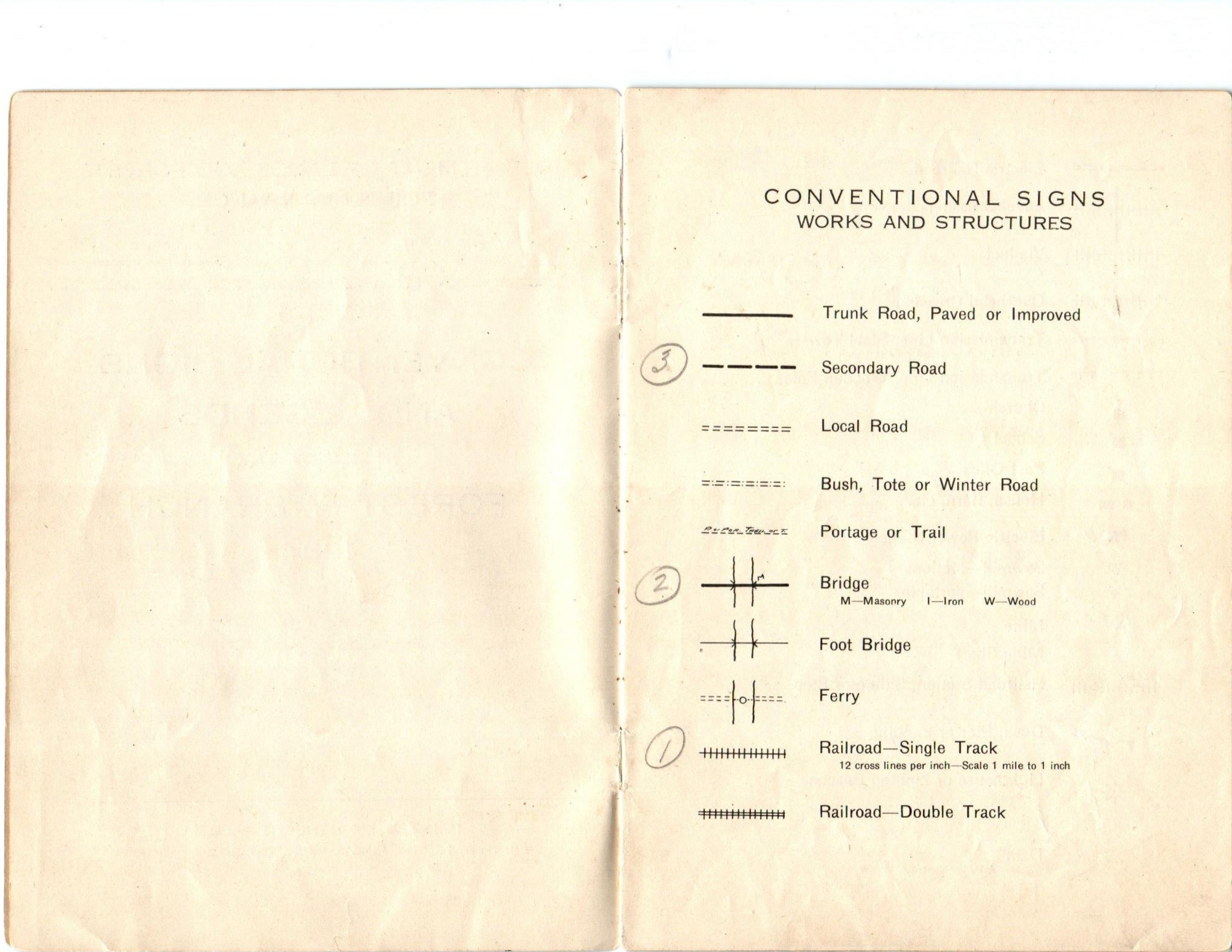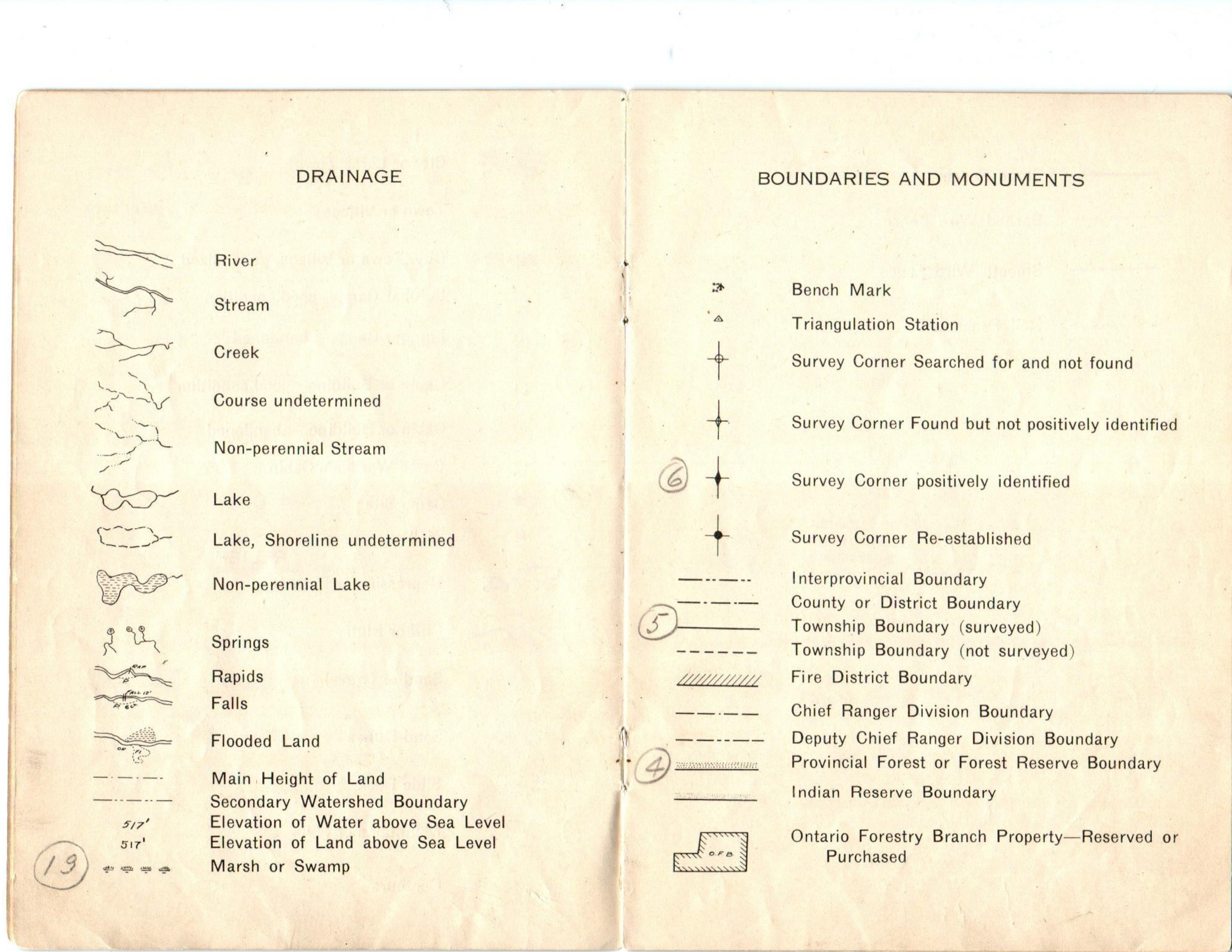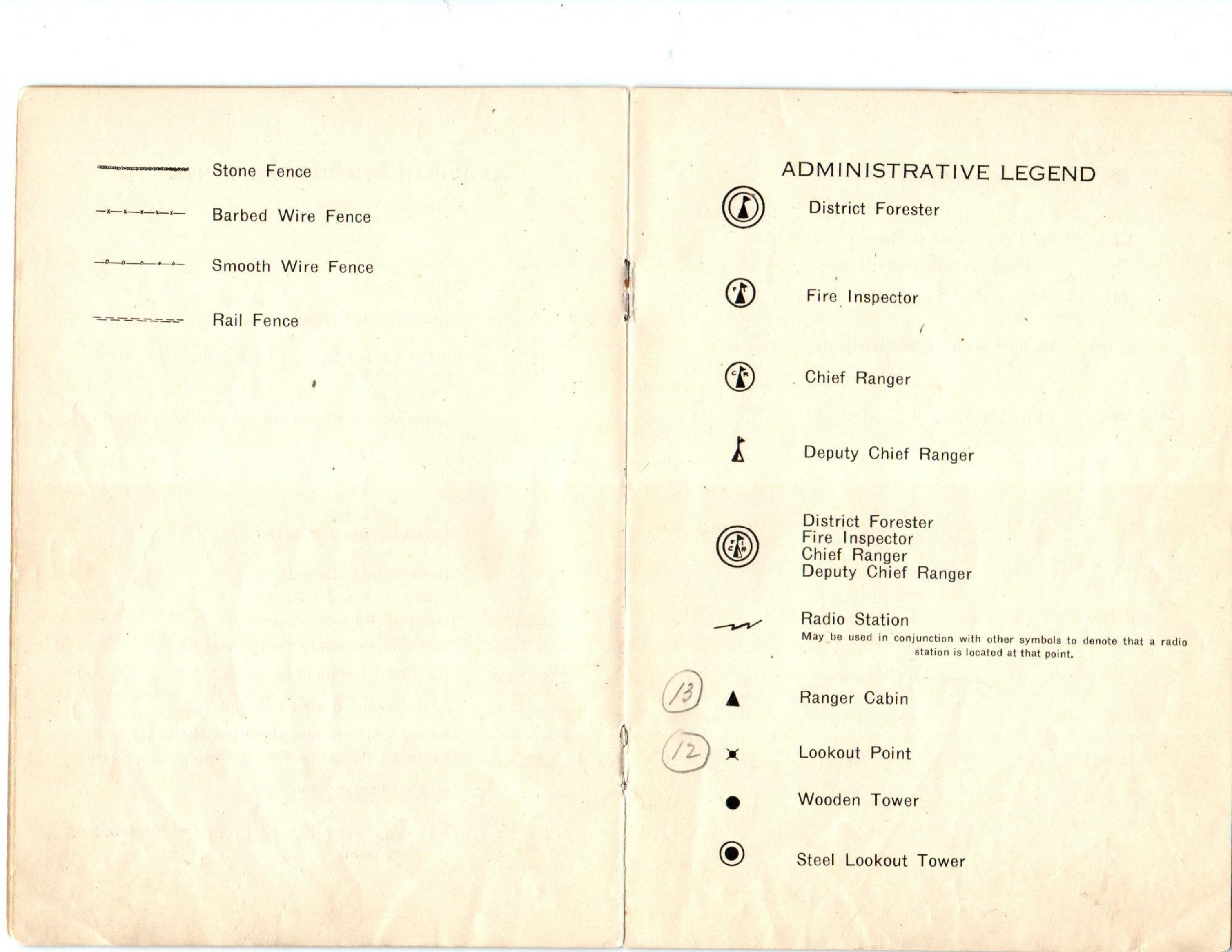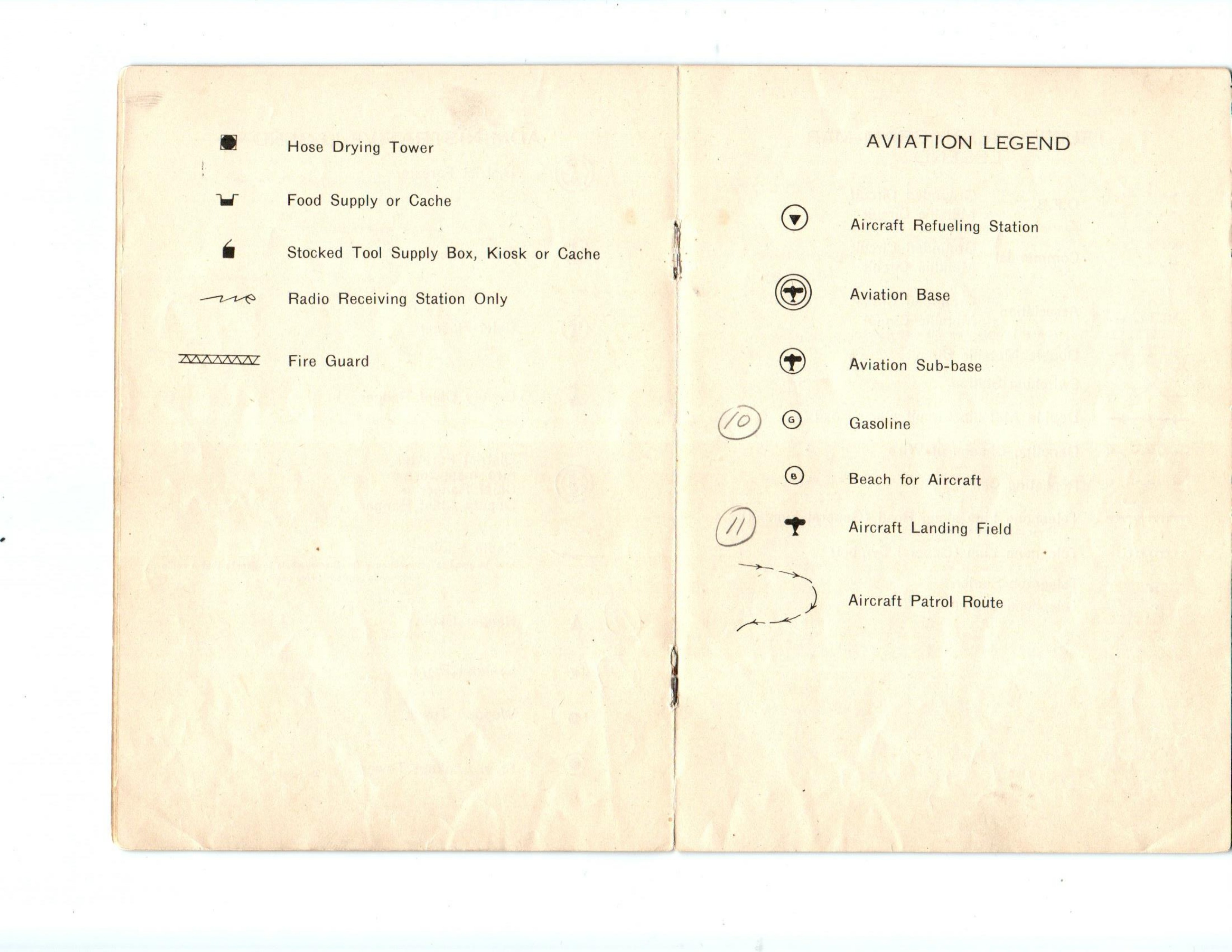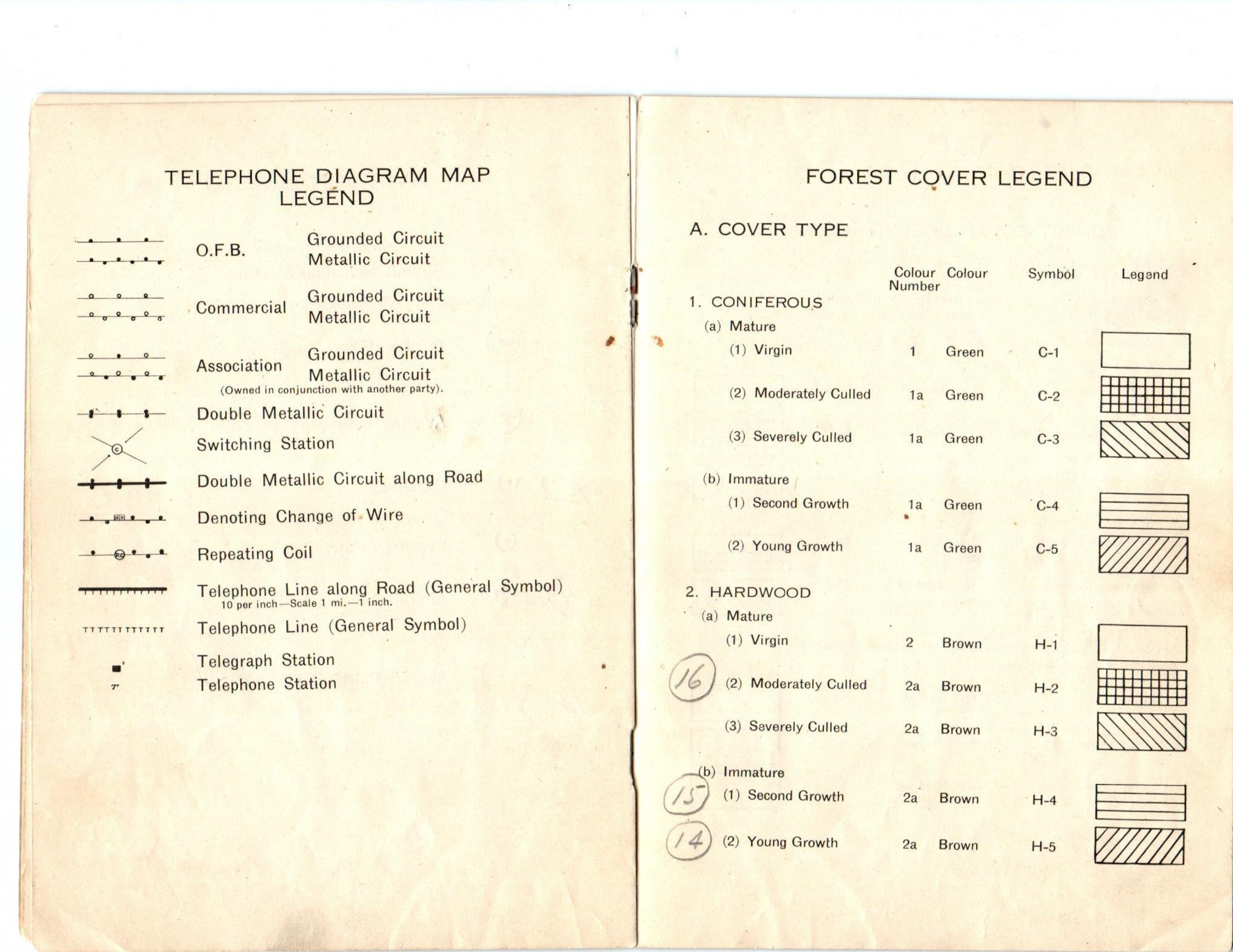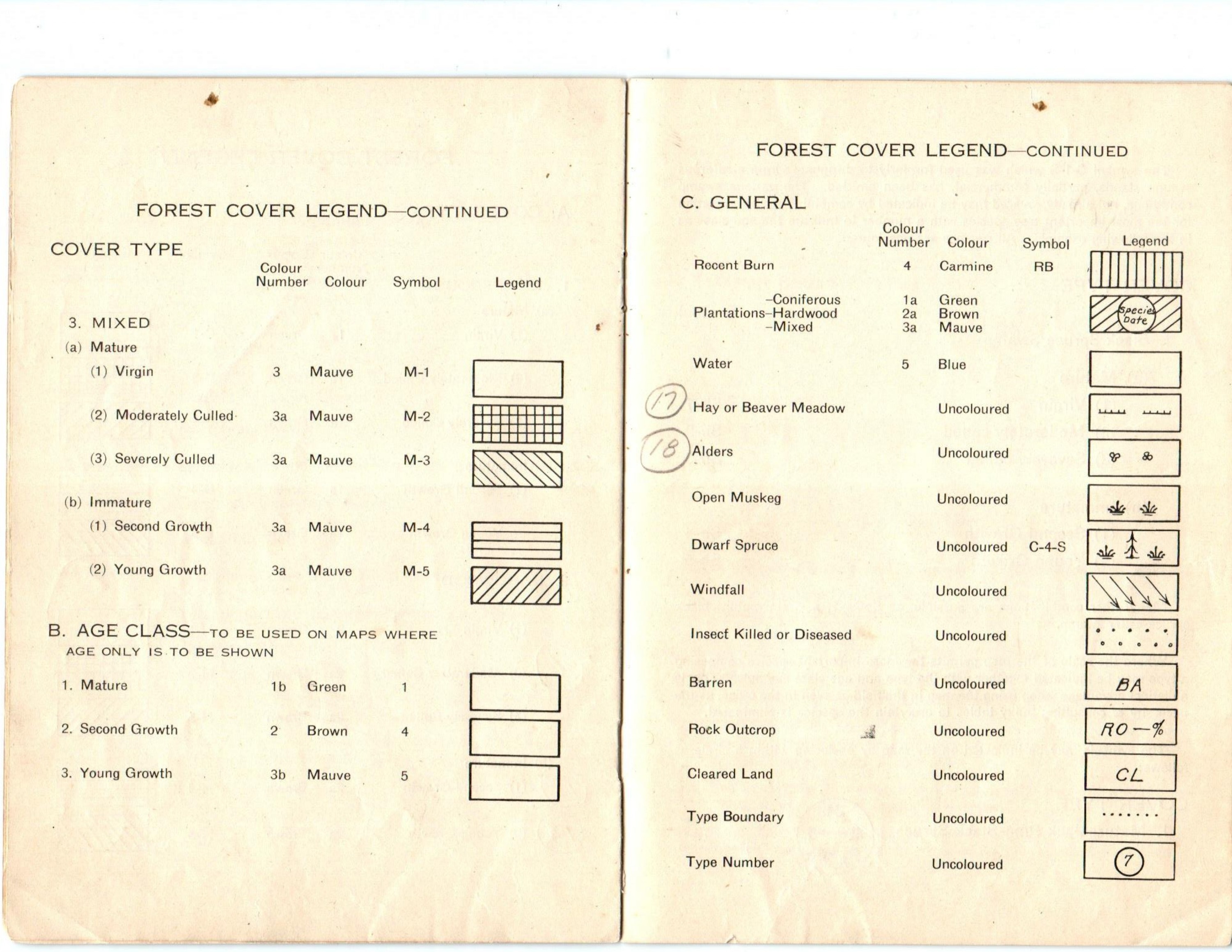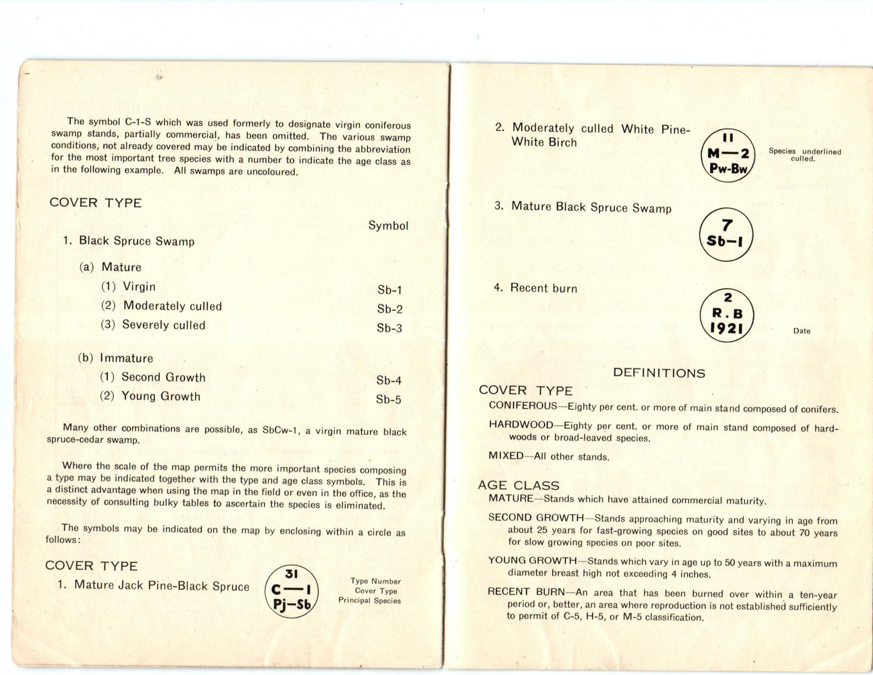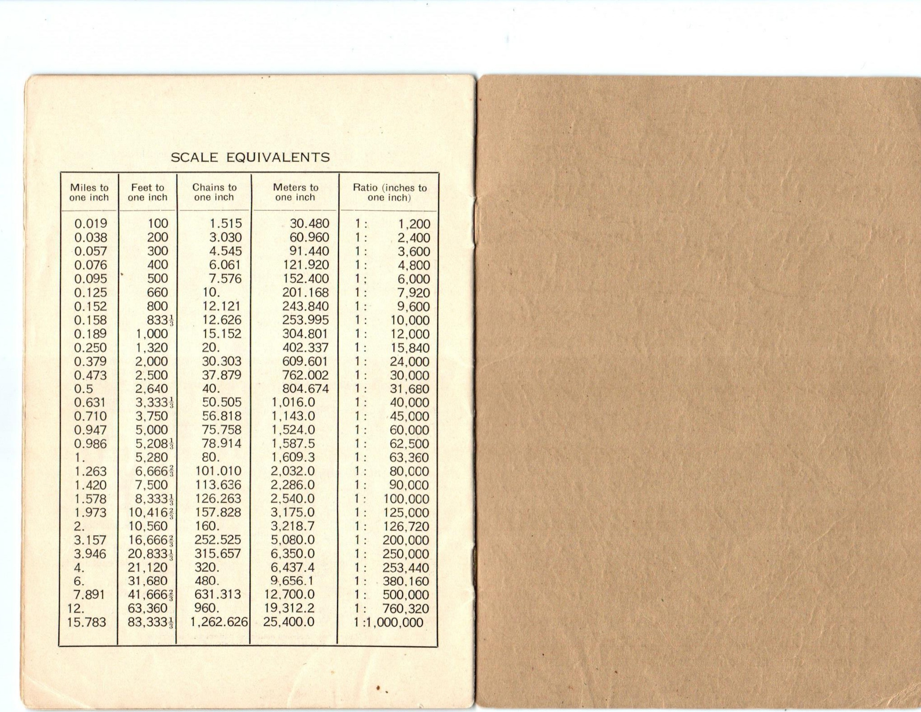
Shortly after our February 12, 2026 Annual Meeting I was contacted by long-time member and supporter, Herb Bax, about a historic Lands and Forests document that has been in his library for a while and offered to contribute it to FHO. It is quite short (PDF link) and quite cryptic. It is titled Conventional Signs and Legends and dated 1934. I am speculating, but it appears to be a guide for L&F cartographers who were in the early days of map making to ensure they all used the same legends on their maps. Aerial photography in Ontario took root in the early 1920s or so and presumably maps in 1934 were much more accurate and somewhat easier to produce than relying on large scale field crews or aerial sketching (which likely had a variety of symbols and keys to identify land features natural and manmade). It is also interesting to note on the inside cover F. A. MacDougall is identified as the Deputy Minister (who is named after our forest history Fund) and Edmund Zavitz is named as Chief, Division of Reforestation. Further, this information is on a small 'label' stapled over the original printing of Minister and Deputy when the guide was originally published...presumably the Minister changed and this was a way of updating the document. The original titles under the label features W. Finlayson as Minister and Edmund Zavitz as Deputy Minister of Forestry. Finally, the front cover features 'Forestry Branch' under the Lands and Forests title (may be hard to see in the scanned copy), but efforts were made to redact that title. I understand that for some time Forestry Branch was a title used commonly but maybe there was a push on to get staff to call it Lands and Forests? Fascinating. Admittedly, this may be a bit eclectic for some...maybe many...but an interesting glimpse of history and early forestry map making that, I suspect, predated Forest Resource Inventory (FRI).
- Jim Farrell